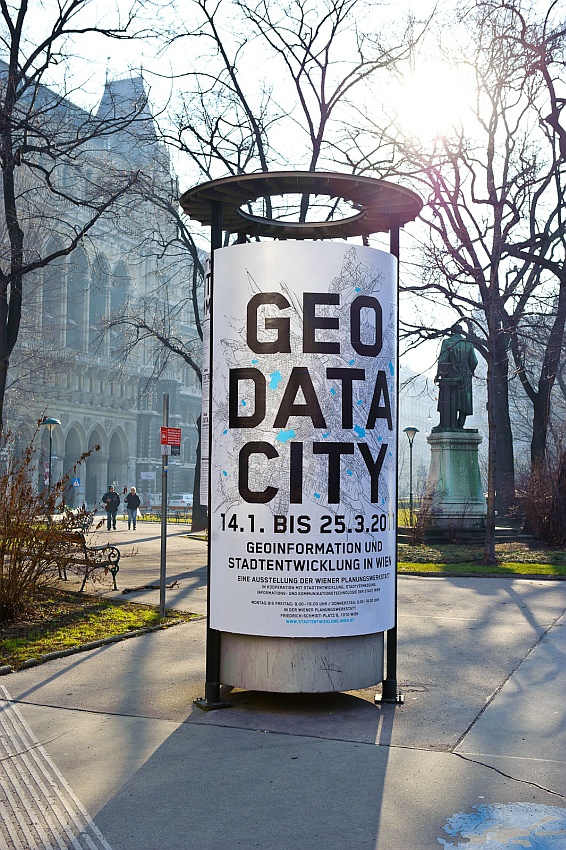
GEO DATA CITY
Geographic information and urban planning in Vienna
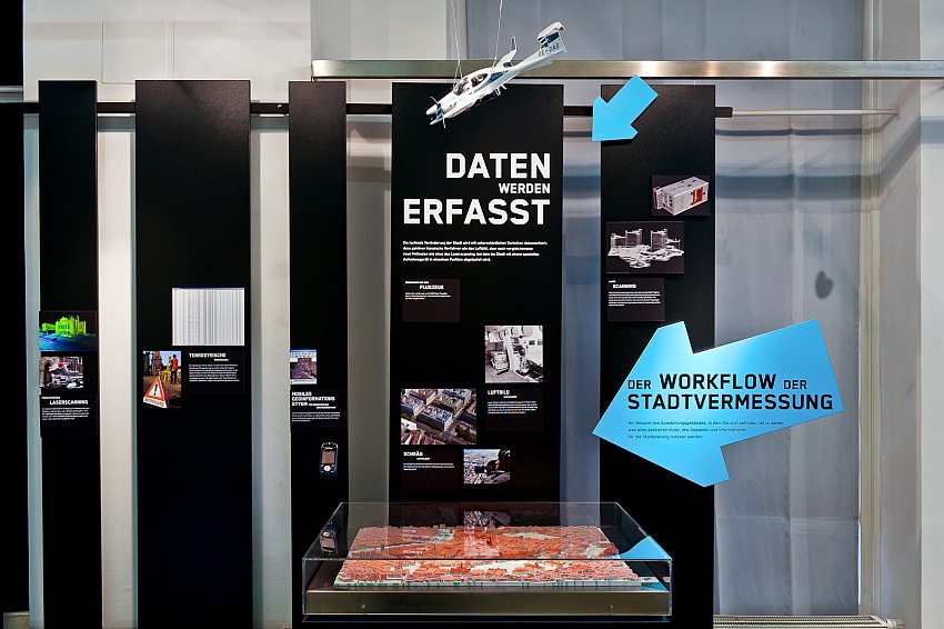
The information used in urban development has to be up-to-date and requires spacial presentation. In the past, data was gathered, calculated and drawn by hand. Nowadays, computers accomplish the task faster and more precisely.
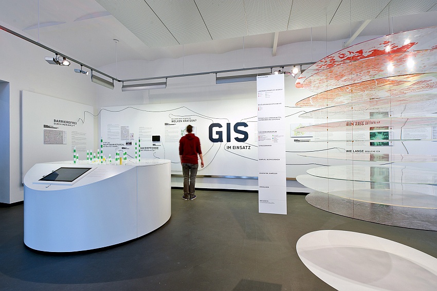
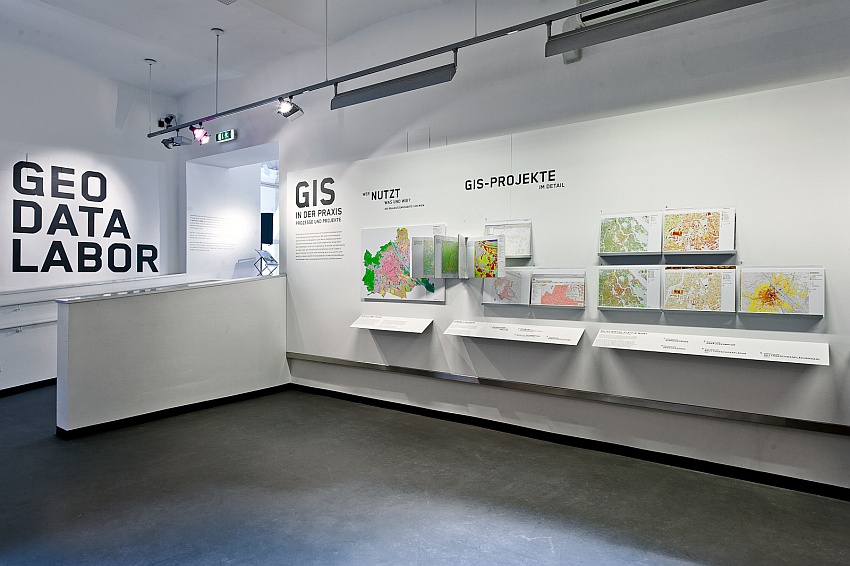
The main tools employed are geographic information systems, also known as GIS, which the urban planning agency of the city of Vienna uses in many ways. The exhibition “Geo Data City” concentrates mainly on GIS.
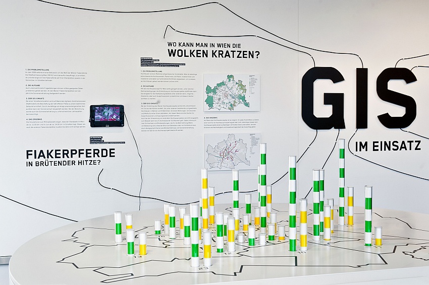
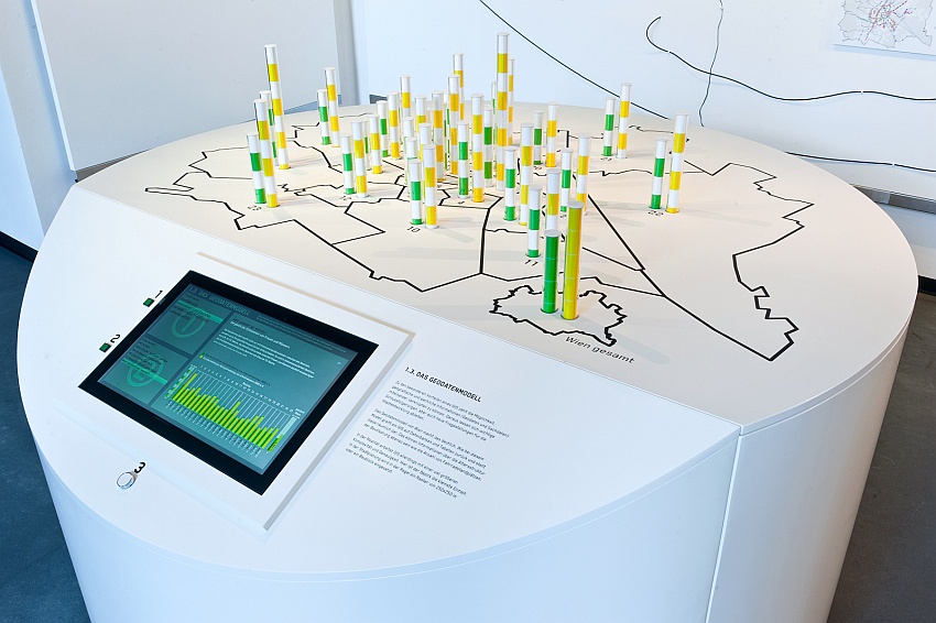
One of the core attractions within the exhibition is the 3D Model of Vienna that visitors can navigate through interactively. The visitor can also take a look at data sculptures that explain the principle of GIS.
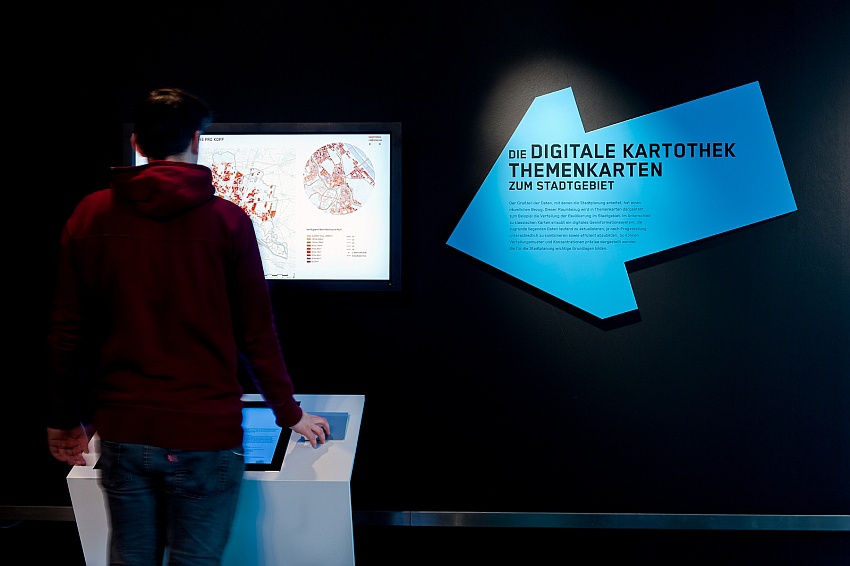
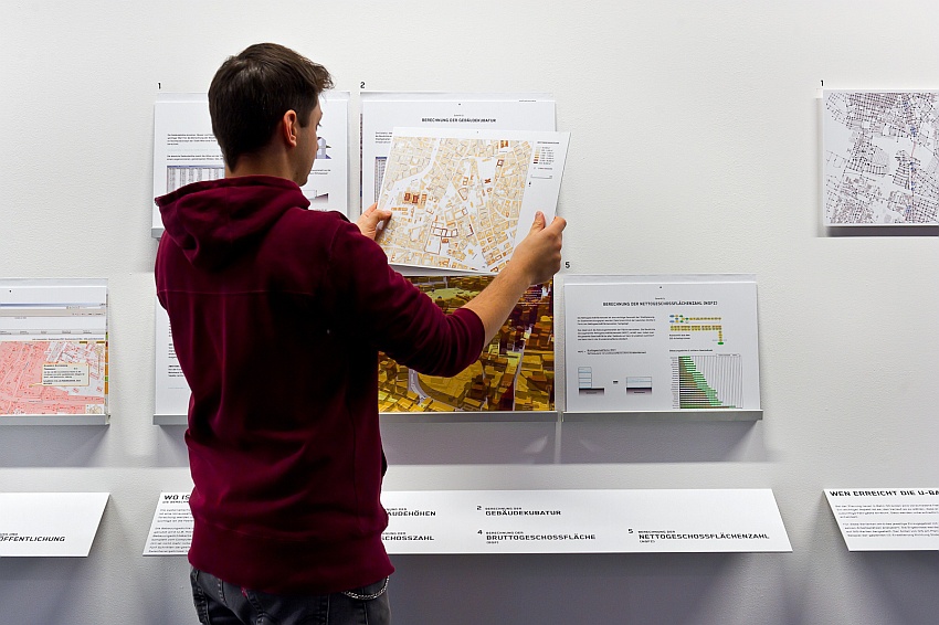
The digital card file includes the most interesting city maps of the past few years.
The “Geo Data Lab” enables visitors to look behind the scenes of GIS and see how cities are surveyed, mapped and analyzed.

Team
Wolfgang Meisinger, Christian Rapp
Client
Wiener Planungswerkstatt
urban planning exhibition center
Venue
Wiener Planungswerkstatt
urban planning exhibition center
Architects
pla.net architects ZT GMBH
Graphic design
Larissa Cerny
Media engineering
Althaler+Oblasser
Model maker
Dominikus Guggenberger
Duration of the Exhibition
14th January 2011 to 25th March 2011